Description
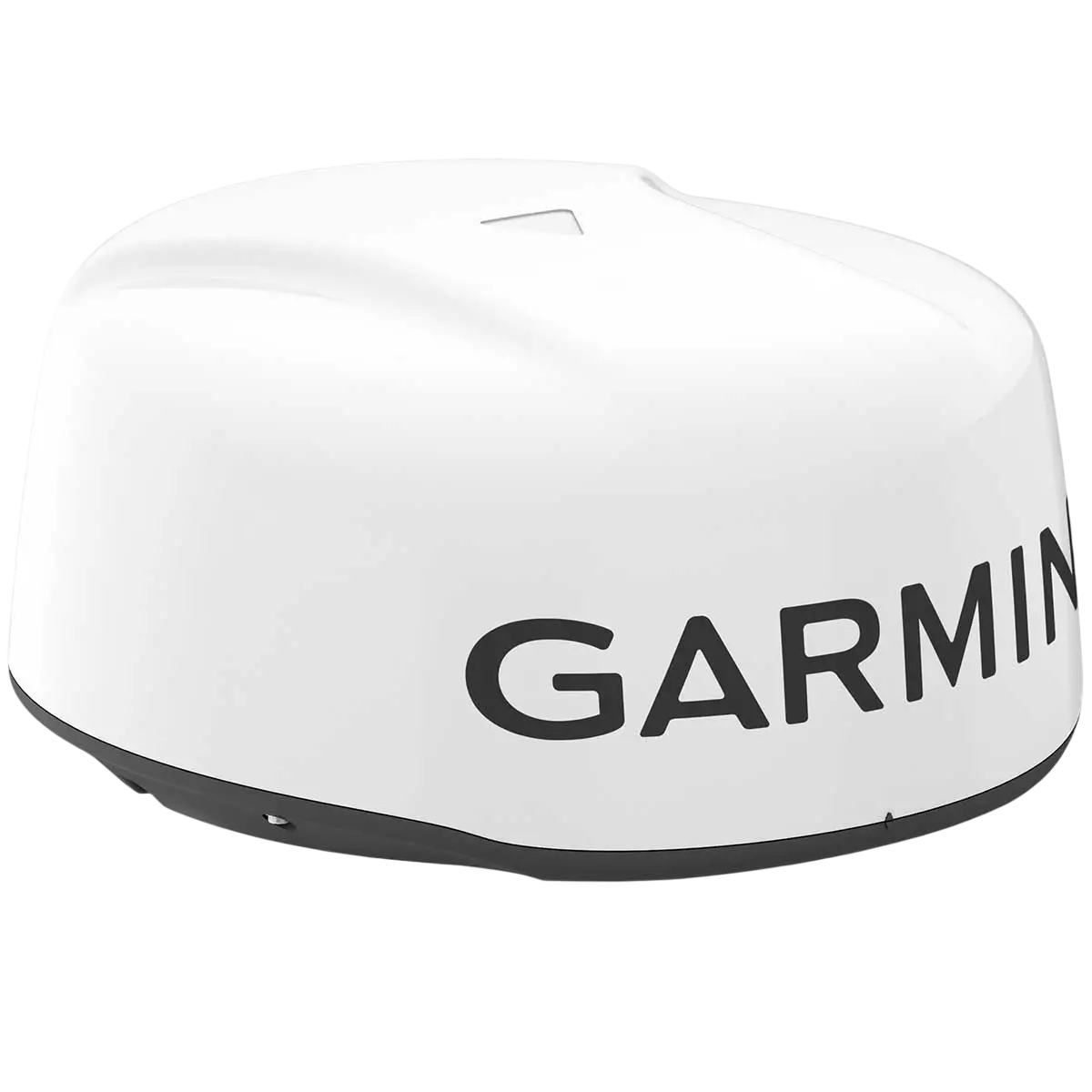
The GARMIN GMR 18 HD3 is a compact 4 kW magnetron dome radar for coastal navigation, collision avoidance and weather awareness. Its 18-inch-class radome is well suited to boats that need proven pulse-radar performance without the size of an open array.
Main Features
- 4 kW magnetron transmitter with up to 36 nautical mile range
- Compact dome format for smaller hardtops, arches and masts
- 5.2° horizontal beamwidth for useful target separation
- 24 RPM rotation with Garmin chartplotter integration
- IPX7 marine construction for exposed installations
Navigation and situational awareness
Radar adds an independent view of surrounding traffic, shorelines, rain and navigation targets when visibility is limited or when chart information alone is not enough. The GMR 18 HD3 can overlay radar information on compatible Garmin chartplotters when appropriate heading and position data are available.
Range and target detection
Garmin specifies a maximum range of 36 nautical miles and a minimum range of approximately 20 m. As with all marine radar, practical detection depends on target size, mounting height, sea state, precipitation and installation quality.
Helm integration
The radome connects to compatible Garmin chartplotters over the Garmin marine network. The display provides radar controls, range selection and supported overlay/target-processing functions.
Installation
Mount the radome with a clear horizontal view and appropriate separation from people, antennas and other equipment. Correct cable routing, grounding and mounting geometry are essential for reliable radar performance.
Understanding radar range
The headline maximum range is only one part of radar performance. Close-range target separation, horizontal beamwidth, mounting height and signal processing matter greatly in real-world navigation. A larger antenna aperture generally provides better angular discrimination, which is one reason the 24-inch Fantom dome can separate nearby targets more effectively than a smaller dome. Small fiberglass boats, buoys and low shorelines may be harder to detect than large ships or land masses.
Radar overlay and heading sensors
Radar overlay is most useful when the chartplotter has accurate heading information from a suitable sensor such as a Garmin heading/GNSS source. Course-over-ground alone can be inadequate at low speed or while maneuvering. Proper heading data helps align radar returns with the electronic chart and supports target-processing features on compatible Garmin systems.
Doppler and target interpretation
Fantom models add MotionScope Doppler processing, which can visually emphasize targets based on relative motion and make busy traffic easier to interpret. Doppler is an aid, not an automatic collision-avoidance system. Operators should understand relative motion, maintain appropriate range settings and use target trails, guard zones and MARPA/AIS tools where supported by the connected chartplotter.
Mounting and safety considerations
Radar performance depends on a rigid, level mounting surface with a clear view around the vessel. The scanner should be installed at an appropriate height and with the manufacturer-specified separation from people, compasses, antennas and other equipment. Cable bends, water ingress and shadowing from masts or hardtop structures can all affect performance. Follow Garmin’s RF exposure and installation requirements exactly.
What’s in the Box
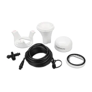
GMR 18 HD3 radome, 15 m power cable, 15 m marine network cable, mounting hardware/template and documentation.
Specifications
- Radar type: 4 kW magnetron dome
- Maximum range: 36 nautical miles
- Minimum range: Approximately 20 m
- Rotation: 24 RPM
- Beamwidth: 5.2° horizontal / 25° vertical
- Dimensions: Approximately 20 in diameter × 9.8 in high
- Weight: Approximately 7 kg
- Input voltage: 11–32 VDC
- Water rating: IPX7




Reviews
There are no reviews yet.