
Description
Description:
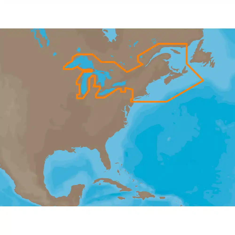
The CMAP Great Lakes & Maritimes Marine Chart (Model NA-M026-C) offers detailed navigational data for the Great Lakes region and Canadian Maritimes. Compatible with CMAP-enabled chartplotters, this chart provides accurate coastline details, depth contours, navigational aids, and hazard warnings, helping boaters navigate safely through these busy and diverse waters.
Key Features:
-
Comprehensive coverage of the Great Lakes and Canadian Maritimes
-
Compatible with CMAP chartplotters and navigation devices
-
Detailed bathymetry, coastline mapping, navigational aids, and hazards
-
High-resolution marine chart for reliable and safe navigation
-
Ideal for recreational, commercial, and professional use
Typical Applications:
-
Navigation and route planning in Great Lakes and Maritimes
-
Fishing, recreational boating, and commercial shipping
-
Safe passage through coastal and inland waters
Specifications:
-
Model Number: NA-M026-C
-
Coverage Area: Great Lakes and Canadian Maritimes
-
Format: CMAP digital chart format
-
Media: CD/DVD or compatible digital medium
-
Brand: CMAP





Reviews
There are no reviews yet.